NASA content - images, audio, video, and computer files used in the rendition of 3-dimensional models, such as texture maps and polygon data in any format - generally are not copyrighted. You may use this material for educational or informational purposes, including photo collections, textbooks, public exhibits, computer graphical simulations and Internet Web pages. This general permission extends to personal Web pages. [This note was copied from the image gallery site on March 4th, 2020]
Warranty
No guarantee can be given as to the correctness of facts implied or explicitly stated.
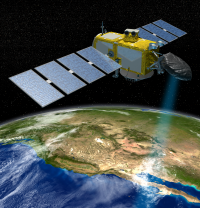 Produziert große Datenmengen: der Jason-3 Satellit misst ständig die Höhe der Ozeanoberfläche. Die deskriptive Statistik kann diese Rohdaten zu schnell interpretierbaren Diagrammen und Aussagen zusammenfassen, das heißt: verdichten
© NASA => Zurück zum Artikel
Produziert große Datenmengen: der Jason-3 Satellit misst ständig die Höhe der Ozeanoberfläche. Die deskriptive Statistik kann diese Rohdaten zu schnell interpretierbaren Diagrammen und Aussagen zusammenfassen, das heißt: verdichten
© NASA => Zurück zum Artikel